 Aqueduct
Skopski vodovod
Скопски аквадукт
Cultural-historical heritage \ Other \ Skopje, Macedonia
Your overall rating
Click to rate
Aqueduct
location & map Aqueduct
- elevation / altitude
- 276 meters
- distance
- 3.20 km from main square / Skopje
- latitude / longitude
- 42°1′23″N, 21°25′7″E
- visiting Aqueduct
- Area is free to visit. No asphalt road for half a km.
about Aqueduct
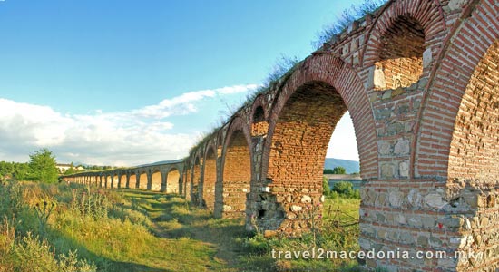
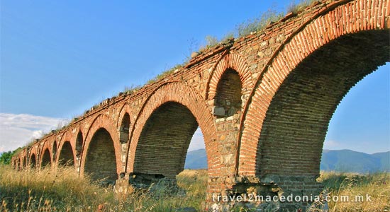
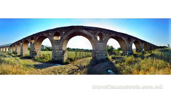
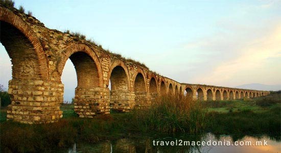
Located north-west from Skopje, the aqueduct was built of stone and bricks with 55 arches supported on massive pillars.
According to one group of archeologists, it was built during the 6th century AD, during the rule of Justinijan First, for water supply of his town Justiniana Prima, while according to other group of arheologists it was built during the Ottoman period by Isa Bey of Mustapha Pasha.
In 1669 the traveler Dr. Brown has noted that the aqueduct is a wonderful old object, which brings a great respect to Skopje. The historians have quoted the famous chronic from the period of Justinian Procopius, whoe notes that it was build between 527-565 AD.
Many archeologists beleive that, due to the similarities with the Kursumli An it dates from the Ottoman period (late 15 century).
The Skopje aqueduct was used to supply water from the gorge Lavovec in Gluvo village, to the part of Skopje, which now is the Old Bazaar and Bitpazar district.
Interesting to mentioned is that, in former Yugoslavia there were only 3 aqueducts remained, one in Macedonia and two in Montenegro.
photos nearby Aqueduct
nearby
nearby
-
1.92 km
-
2.35 km
-
2.43 km
-
2.68 km
-
2.69 km
-
2.7 km
-
2.72 km
-
2.8 km
-
2.8 km
-
2.84 km
-
1.24 km
-
1.47 km
-
1.61 km
-
1.74 km
-
1.91 km
-
2 km
-
2.18 km
-
2.22 km
-
2.24 km
-
2.27 km









Let's socialize