 Vinicko Kale site
Viničko Kale
Виничко Кале
Cultural-historical heritage \ Finding sight \ Vinica, Macedonia
Your overall rating
Click to rate
Vinicko Kale site
location & map Vinicko Kale site
- elevation / altitude
- 484 meters
- distance
- 1.25 km from main square / Vinica
- latitude / longitude
- 41°52′30″N, 22°31′6″E
about Vinicko Kale site
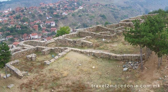
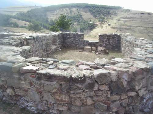
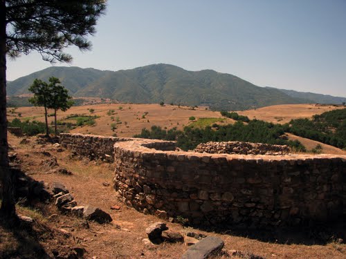
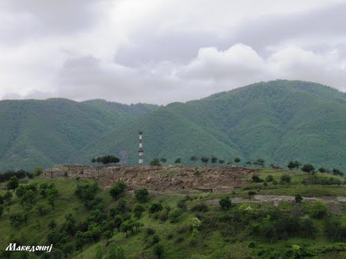
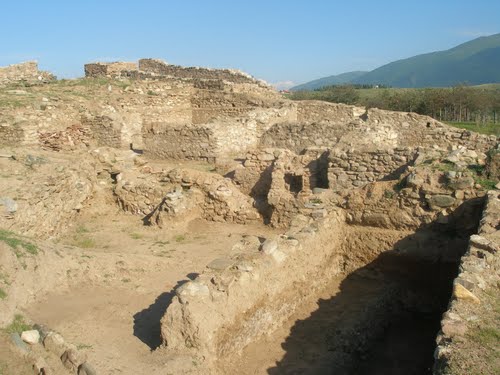
Vinicko Kale is a settlement from the late ancient period. It is located south-western of the town, on the left of the Grdečka river, on a hill, and 420 meters above the sea level. All sides are surrounded by high walls except the south-eastern side. It has dimensions 250x150 meters and lies on a 2,5 hectares land.
The defensive wall was built of broken stone with cement and is 3 meters fat. The famous terra-cotta icons from the 5th and 6th century, were discovered by these defewalls. They are unique and are listed in teh series of especially valuable world collections of archaeological findings that open spaces to new and creative scientific theories and researches.
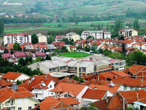
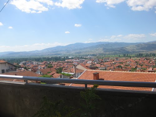
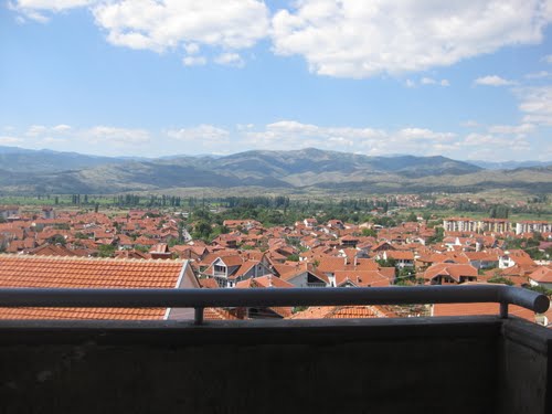
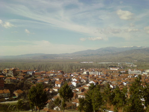
From here there is an excellent view of the town Vinica and the river Bregalnica.
photos nearby Vinicko Kale site
nearby
nearby
-
1.51 km
-
8.83 km
-
10.43 km
-
20.7 km
-
26.99 km
-
28.51 km
-
30.98 km
-
31.03 km
-
31.29 km
-
31.29 km
-
4.51 km
-
5.16 km
-
7.21 km
-
9.79 km
-
13.52 km
-
14.89 km
-
31.12 km
-
31.16 km
-
33.39 km
-
33.69 km








Let's socialize