 Isar fortress
Tvrdina Isar
Тврдина Исар
Cultural-historical heritage \ Citadel/Fortress \ Stip, Macedonia
Your overall rating
Click to rate
Isar fortress
location & map Isar fortress
- elevation / altitude
- 359 meters
- distance
- 0.71 km from main square / Stip
- latitude / longitude
- 41°44′15″N, 22°11′10″E
about Isar fortress
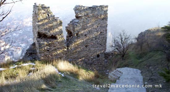
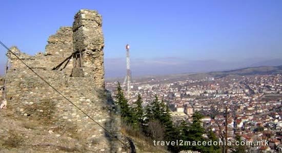
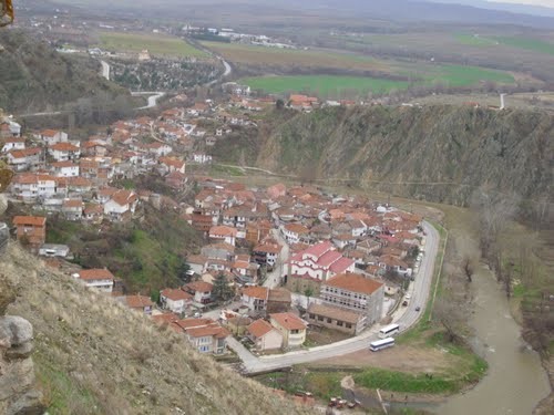
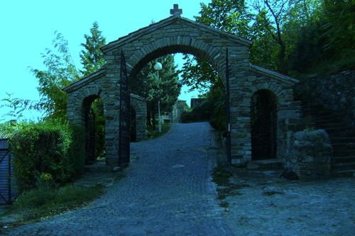
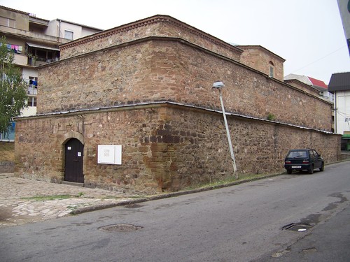
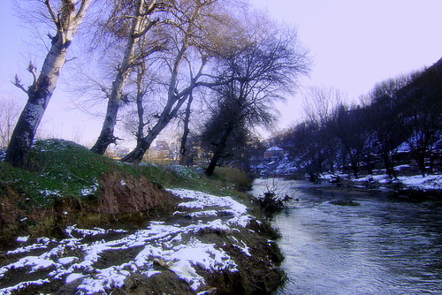
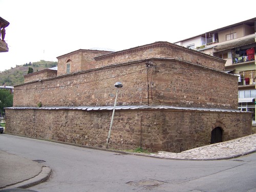
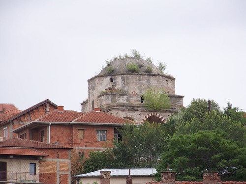
Isar fortress is located between the rivers Bregalnica and Otinja. Exact records of the time of the construction of the fortress have not been found.
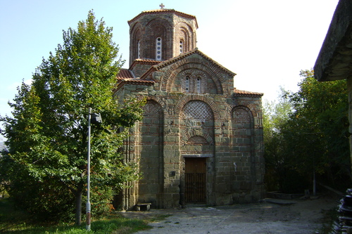
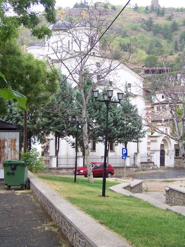
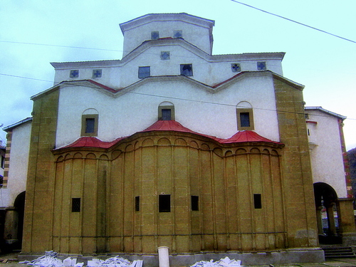
Some of the 19m high fortress walls have been preserved. During the middle ages, churches were built on all four sides of the fortress.
In 1332, they built a church dedicated to St. Archangel Michael.
The second church, built in 1341, was dedicated to St. Nikola, and a few years later, the third church - which has been preserved in its original form until the present day.
The last church dedicated to St. Vasilie, was located on the north side of the fortress, and it was built in 1337.
custodian / administrator
photos nearby Isar fortress
nearby
nearby
-
0.01 km
-
0.21 km
-
0.31 km
-
0.34 km
-
0.53 km
-
0.54 km
-
0.56 km
-
0.98 km
-
11.03 km
-
14.25 km
-
0.49 km
-
24.6 km
-
26.32 km
-
28.05 km
-
28.86 km
-
29.32 km
-
30.08 km
-
30.57 km
-
30.78 km
-
31.1 km









Let's socialize