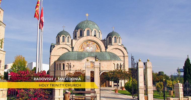
 Radovis
- Region
Southeastern - Municipalities
Radovish - Area of coverage
497.48 km² (309.11 mi²)
- Elevation / altitude
380 m (1,246.72 ft) - Dialing code
+389 (0)32 - Postal code
2420
- License plates
RA - Time zone
CET (UTC+1) Summer (DST): CST (UTC+2) - Coordinates
41°38'17"N, 22°27'52"E
About Radovis
Radovis is a town positioned in the south-eastern part of the Republic of Macedonia. Radovis is seat of Radovis municipality.
According the 2002 census, Radovis had a population of 16,223 people. Radovis is spread on the bottom of mountain Plackovica and the northern part of the Strumica plain.
Radovis is situated between Stip (37 km) and Strumica (29 km) in the northern part of Strumica plain. This road is a main communication route with other parts of Macedonia. Skopje via Stip and Veles (77 km) is 120 km away.
The Mediterranean-contental climate is present in Radovis and has many favorable periods during the year. This is particularly important for the agriculture. It is also known by its paprika and tobacco. Radovis is one of the rare places in the world where oriental types of tobacco are grown.
Climate & when to come in Radovis
Radovis and the entire municipality as well, have aproximately 112 sunny days. However, the climate in the surrounding region can change into mildy-continental (in the nearby mountains).
The average yearly temperatures are 12,5°C – 13,0°C in the lowest and as low as 7,5°C in the higher parts. July and August are the warmest month with average temperature of 23°C, while January is the coldest with average temperature of 1.2°C.


Let's socialize